Photo of the flooded embankment on Kyiv

Photo of the flooded embankment on Kyiv

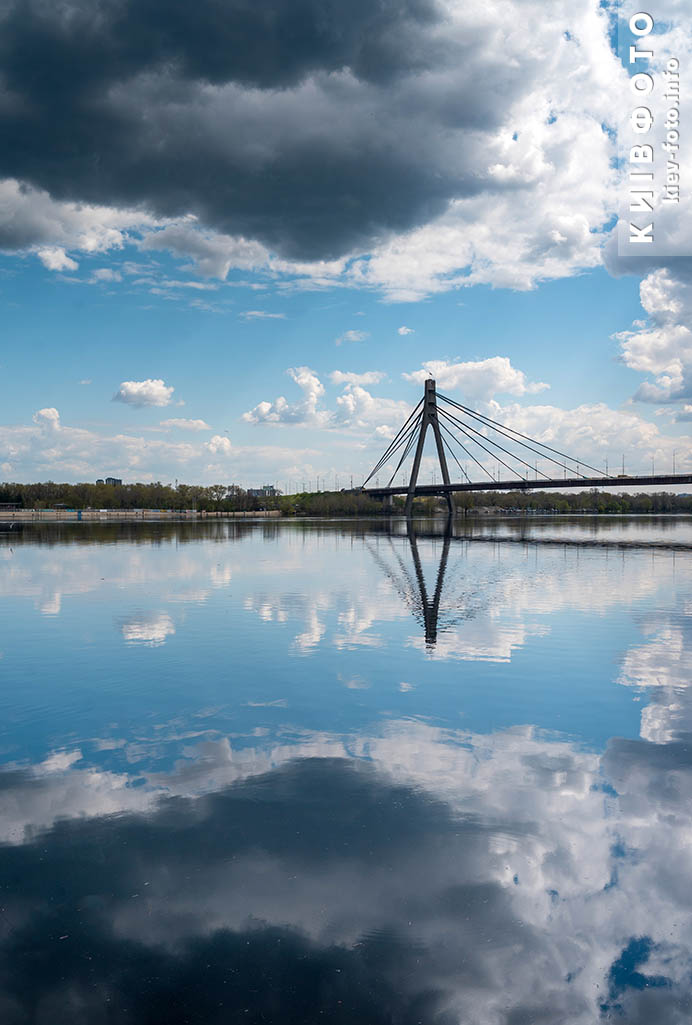
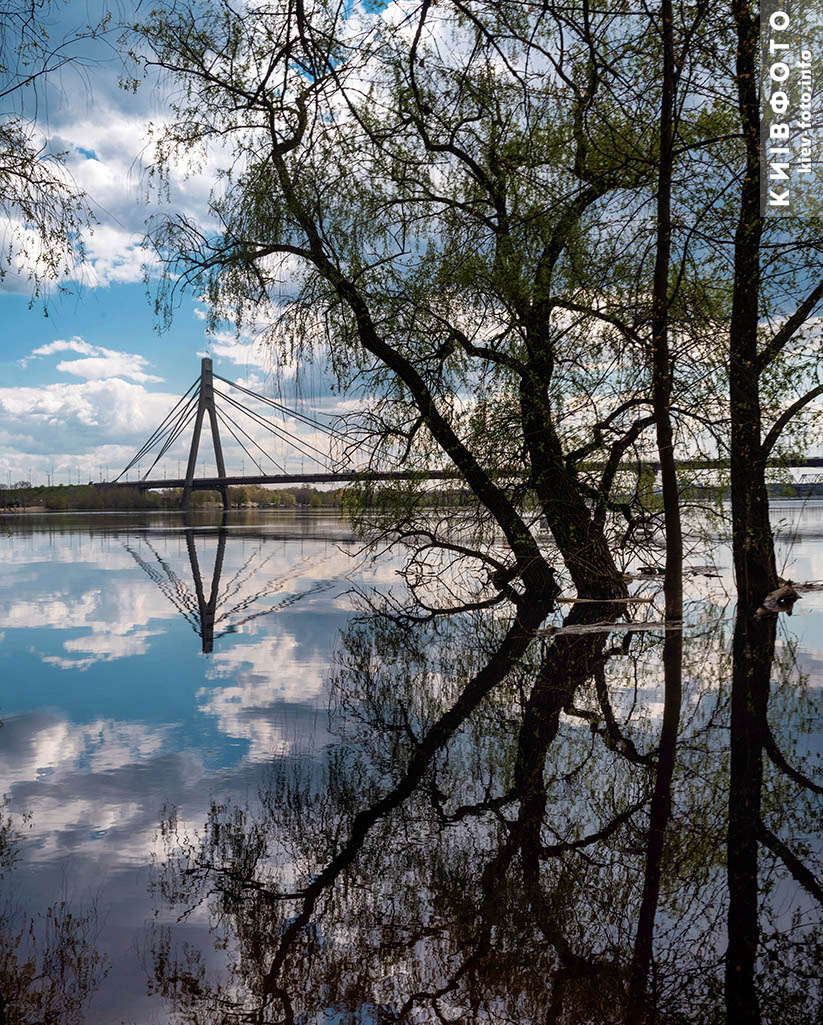
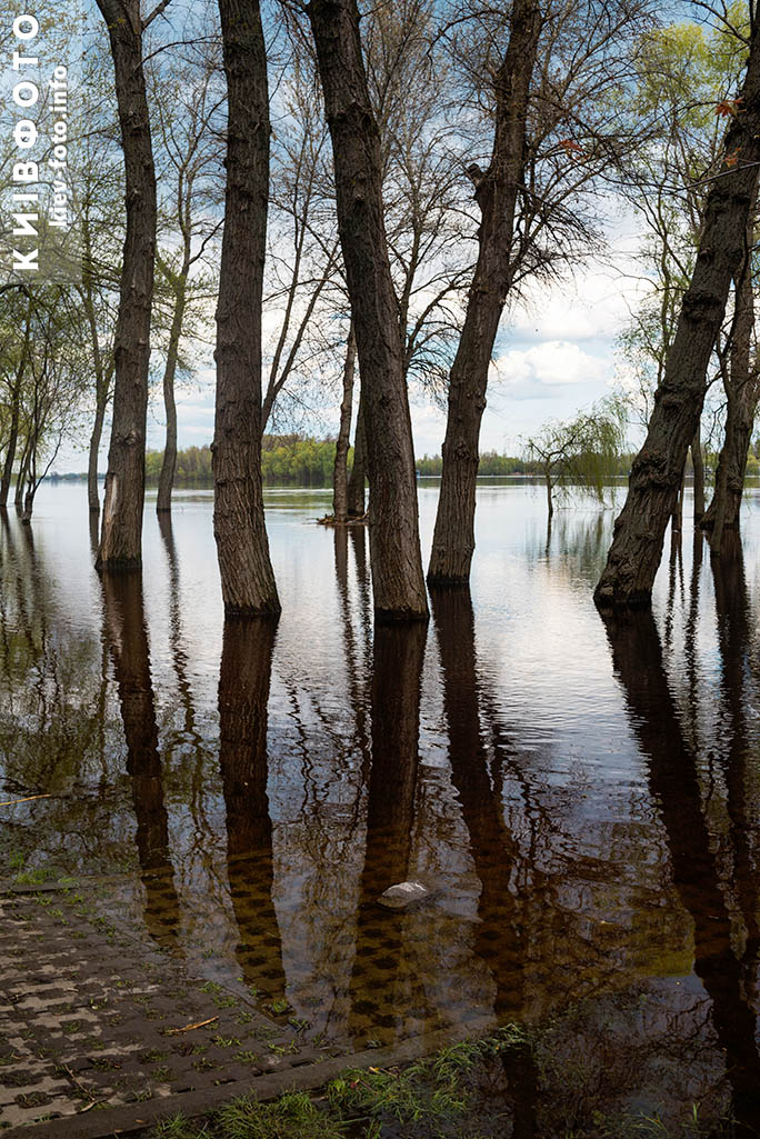
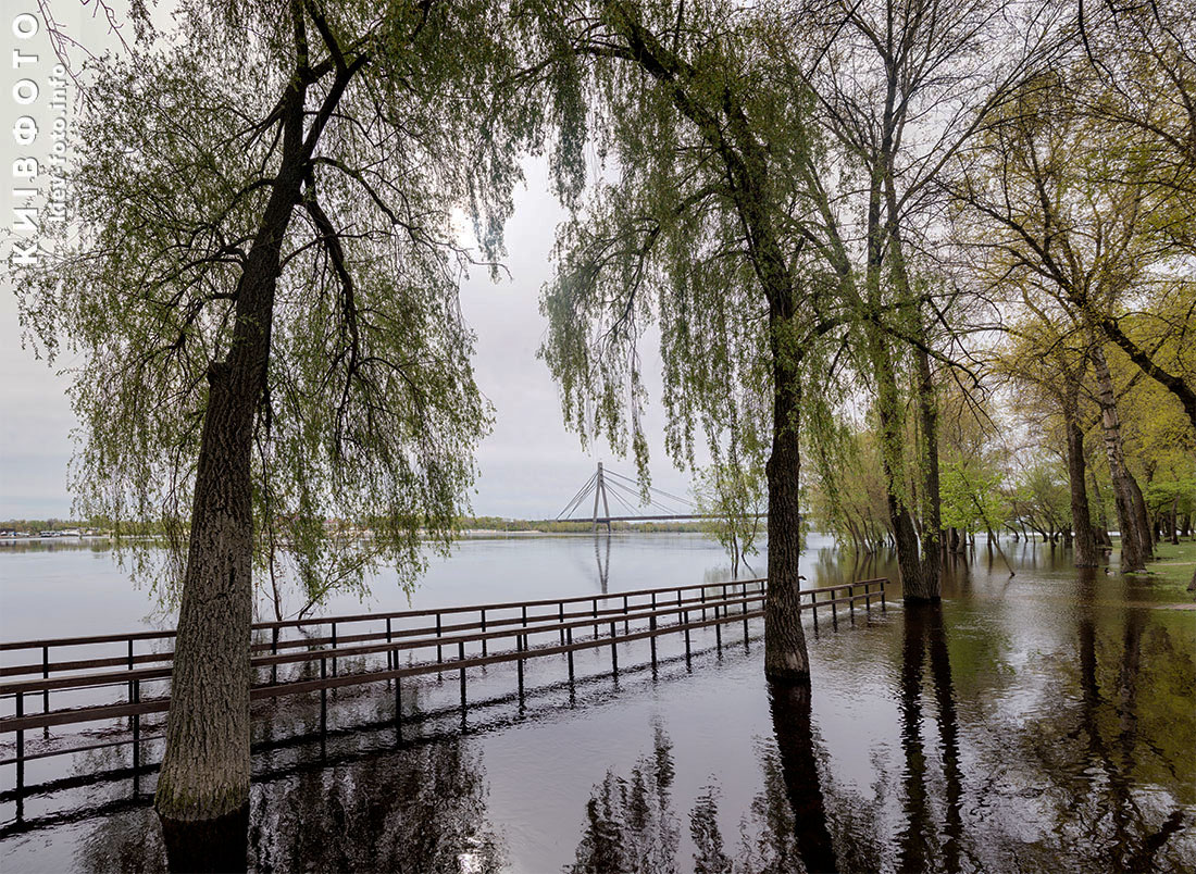
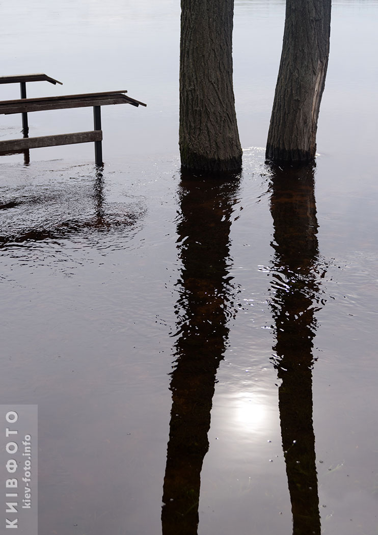
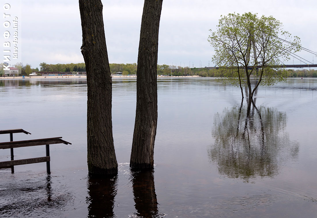
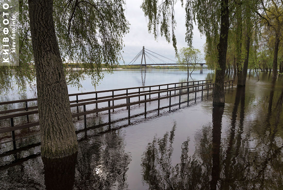
Due to the rise in the water level in the Dnipro in April, many coastal areas of the capital were flooded, mainly embankments. Among them is the embankment in the Natalka park on Obolon.

Recall that the largest flood in the history of Kyiv occurred in May 1931 - then Podil and the village on Trukhaniv Island were flooded, the Rybalsky Peninsula turned into an island.

Photo of the flooded embankment on Obolon:

Photo of the flooded embankment on Kyiv

Photo of the flooded embankment on Kyiv

Photo of the flooded embankment on Kyiv

Photo of the flooded embankment on Kyiv

Photo of the flooded embankment on Kyiv

Photo of the flooded embankment on Kyiv

Photo of the flooded embankment on Kyiv

Photo of the flooded embankment on Kyiv

Photo of the flooded embankment on Kyiv

Photo of the flooded embankment on Kyiv

Photo of the flooded embankment on Kyiv

Photo of the flooded embankment on Kyiv

Photo of the flooded embankment on Kyiv

Photo of the flooded embankment on Kyiv

Photo of the flooded embankment on Kyiv

Photo of the flooded embankment on Kyiv

Photo of the flooded embankment on Kyiv

Photo of the flooded embankment on Kyiv

Photo of the flooded embankment on Kyiv

Photo of the flooded embankment on Kyiv

Photo of the flooded embankment on Kyiv

Photo of the flooded embankment on Kyiv

Photo of the flooded embankment on Kyiv

Photo of the flooded embankment on Kyiv

Photo of the flooded embankment on Kyiv

Photo of the flooded embankment on Kyiv

Photo of the flooded embankment on Kyiv

Photo of the flooded embankment on Kyiv

Photo of the flooded embankment on Kyiv

Photo of the flooded embankment on Kyiv

Photo of the flooded embankment on Kyiv

Photo of the flooded embankment on Kyiv

Photo of the flooded embankment on Kyiv

Photo of the flooded embankment on Kyiv

Follow us on Facebook Twitter Instagram